Azure Updates
View in Azure Updates
Azure Data Explorer supports geospatial functions since 2019.
The following functions support geospatial clustering based on a sphere surface and have been added recently:
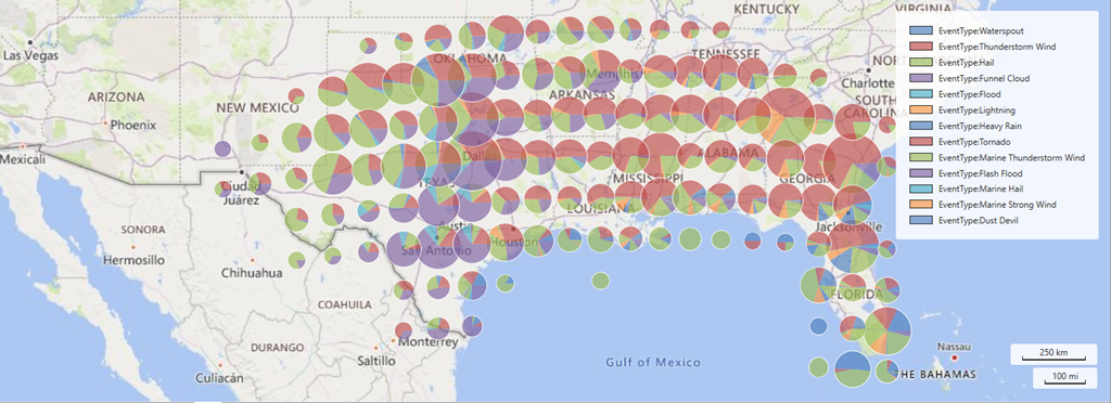
Additionally, it's now possible to render map data using pie charts and scatterplots in KustoExplorer.
All Message Center discussions